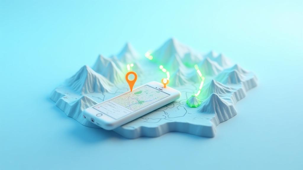
Learning, Unlocked by Location.
Nexilophorenta constructs dynamic, location-based mobile experiences that transform real-world places—from historic districts in Pasco, WA to the pristine nature trails of the Cascades—into compelling, interactive learning environments. We build immersive educational journeys for schools, museums, and parks across Washington State and the Pacific Northwest, bringing lessons to life right where they happen.
Bringing Lessons to Life
1. Discover
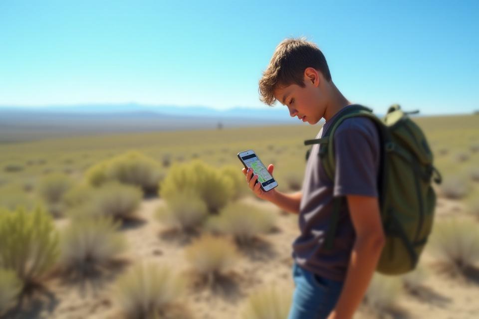
Students arrive at a GPS-enabled point of interest, triggering the learning encounter.
2. Unlock
The Nexilophorenta app automatically reveals location-specific content: a historical photo, an expert video, or an interactive AR experience.
3. Interact
Students engage with challenges: answering questions, taking specific photos, or collecting digital artifacts.
4. Progress
The learning journey continues as students are guided to their next educational waypoint.
Endless Possibilities for Place-Based Education
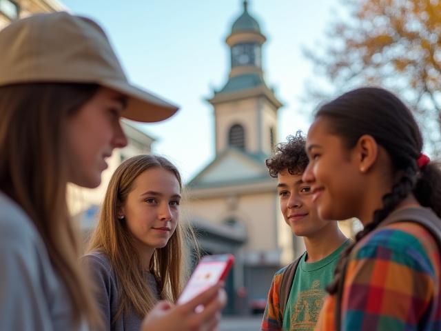
Interactive History Tours
Bring local history to life. Nexilophorenta creates engaging geo-tours for cities like Pasco, Kennewick, and Richland, turning street corners into storytellers.
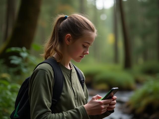
Environmental Science Trails
From state parks to botanical gardens, our apps guide users to identify plants, animals, and geological features, fostering deeper ecological understanding.

Campus Orientation for Universities
Gamify freshmen orientation with interactive scavenger hunts, helping new students discover campus landmarks and resources effortlessly.
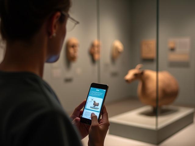
Museum Exhibit Enhancement
Provide deeper content and interactive activities for specific museum exhibits, allowing visitors to unlock multimedia experiences based on their position.
Case Study: The 'Hanford Reach' Geo-Trail
Client: A local environmental education non-profit, committed to preserving and educating about the unique ecology of the Pacific Northwest.
Project: Nexilophorenta developed an innovative mobile application guiding hikers along the Hanford Reach National Monument. This app leverages GPS to trigger rich information about the unique shrub-steppe ecosystem and its connection to Manhattan Project history, directly at relevant locations.
Key Features:
- AR overlays showcasing historical structures no longer visible.
- An integrated plant identification camera feature for local flora.
- Location-based quizzes and challenges to solidify learning.
Result: Increased visitor engagement by 200% according to survey data. Highly praised by local schools for its educational impact and innovative approach to outdoor learning.
Have a Location in Mind?
Our team, based right here in Pasco, is passionate about connecting learning to our local environment and history. Let's collaborate on your next groundbreaking, place-based educational experience.
Plan Your Experience